
Hanoi, May 14 – After several days of intense sunshine, northern Vietnam—including Hanoi—is set to experience a wave of rain and thunderstorms, with conditions expected to be most active during late afternoons and evenings over the next 10 days. Meanwhile, central and southern parts of the country continue to see a mix of scattered showers and rising temperatures, with localized weather risks in mountainous regions.
Northern Vietnam: Rain Returns with Storm Warnings
Starting today, May 14, scattered showers and thunderstorms will return to the Northwest and Northeast, with rainfall amounts ranging between 10–20mm, and some areas receiving more than 50mm. The showers will intensify between May 15–18, particularly in low-lying and mountainous areas, increasing the risk of localized flooding, landslides, and hail.
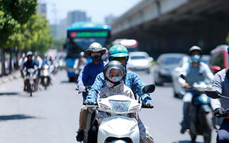
In Hanoi, daytime highs today are expected to reach 31–33°C, followed by scattered evening storms. The next three days (May 15–17) will see frequent rain and thunderstorms, bringing daytime highs down to 30°C. However, from May 18–19, the capital will heat up again with temperatures climbing back to 33°C, before turning dry and increasingly hot between May 20–23, with highs reaching 34°C.
Central Vietnam: A Mixed Pattern of Heat and Rain
From Thanh Hoa to Hue, daytime weather will remain mostly sunny, while evening thunderstorms are expected to be scattered, with temperatures peaking at 29–32°C.
In Da Nang and provinces down to Binh Thuan, scattered showers are forecast for the late afternoon and evening, particularly in northern coastal areas on May 16. Temperatures will hover between 31–34°C, with a heightened risk of thunderstorms bringing lightning, hail, and gusty winds.
Central Highlands and Southern Vietnam: Wet Afternoons Continue
The Central Highlands and Southern Vietnam will continue to experience their typical afternoon and evening thunderstorms over the next 10 days. In provinces such as Gia Lai and Dak Nong, rainfall totals have already topped 60mm in isolated areas this week. Heavy rain is forecast to persist, particularly from May 16–18, bringing risks of flooding, landslides, and subsidence, especially in the districts of Chư Păh, Chư Prông, Mang Yang, and Pleiku.
In the South, including Ho Chi Minh City, daily highs will range from 32–35°C, with scattered thunderstorms likely in the evenings. Notably, Hóc Môn recorded 68.4mm of rain overnight.
National Outlook: Stay Alert for Storms and Heat
- May 15–18: Widespread thunderstorms expected in North and North Central Vietnam, especially at night.
- May 19–20: Onset of heatwave conditions in North Central and Central Vietnam.
- May 20–23: Hanoi and the North transition into a dry, sunny pattern with rising heat.
Throughout the South and Highlands: Continued pattern of humid mornings, scattered showers, and evening thunderstorms.
Safety Advisory
The National Center for Hydro-Meteorological Forecasting advises residents in storm-prone areas to:
- Avoid outdoor activities during thunderstorms
- Secure power lines and electrical devices
- Avoid sheltering under tall trees during lightning
- Watch for road flooding, fallen debris, and landslides in mountainous areas
Vietnam Insider will continue to monitor and provide updates on severe weather alerts throughout the country. Stay safe, stay informed, and plan your travels accordingly.
Related
Discover more from Vietnam Insider
Subscribe to get the latest posts sent to your email.
Source: Vietnam Insider