

Weather news today 2.8.2023, according to forecast, in the North and North Central region, there will be moderate rain, heavy rain, very heavy rain locally with common rainfall from 60 – 120 mm, in some places over 200 mm.
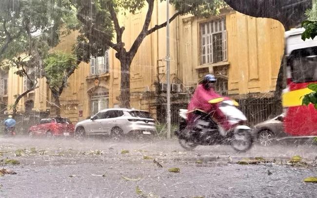
Heavy rain in many areas across the country
Weather news today August 2, 2023, the National Center for Hydro-Meteorological Forecasting said that last night of August 1, there were showers and thunderstorms in the North and North Central regions, with heavy to very heavy rain locally. . Rainfall from 7 p.m. on August 1 to 3 a.m. on August 2 has over 60 mm, such as: Vang Ma Chai (Lai Chau) 100.8 mm, Muong Tung (Dien Bien) 94.6 mm, Muong Vi (Lao Cai) 60 ,6 mm, Chau Hoan (Nghe An) 102 mm…
It is forecasted that, from August 2nd to August 3rd, in the North and North Central regions, there will be moderate rain, heavy rain, very heavy rain locally with common rainfall from 60 – 120 mm, some places over 200 mm; The Central Highlands and the South have moderate rain, heavy rain, very heavy rain locally with a common rainfall of 50-100 mm, in some places over 150 mm (rainy time is concentrated in the afternoon and at night).
In addition, on the day and night of August 2, in the area from Quang Binh to Thua Thien – Hue, there were scattered showers and thunderstorms, heavy rain locally with a rainfall of 10 – 30 mm, in some places over 50 mm (concentrated thunderstorms). afternoon and night).
From August 8, moderate rain, heavy rain in the North and North Central regions, the Central Highlands and the South tends to decrease gradually.
Warning of big waves, thunderstorms at sea
Currently, in the Gulf of Tonkin, the sea from Quang Tri to Quang Ngai, the northern and middle areas of the East Sea (including the waters of the Hoang Sa archipelago) there are showers and thunderstorms.
It is forecasted that, during the day and night of August 2, in the Gulf of Tonkin, the northern, middle and southern regions of the East Sea (including the waters of the Hoang Sa and Truong Sa archipelagoes), the waters from Quang Tri to Quang Ngai, Binh Thuan to Ca Mau, Ca Mau to Kien Giang and the Gulf of Thailand with showers and strong thunderstorms. During thunderstorms there is a possibility of tornadoes and strong gusts of wind.
Warning, day and night on August 3, the waters from Quang Tri to Phu Yen and the northern part of the East Sea (including the waters of the Hoang Sa archipelago) have strong southwesterly winds of level 5, sometimes at level 6, with gusts of level 7 – 8 , rough seas, sea waves 2 – 3.5 m high, especially in the North East Sea 3 – 5 m; The sea from Khanh Hoa to Binh Thuan, the area between the East Sea and the northern waters of the South East Sea (including the waters north of the Spratly archipelago) has strong southwesterly winds of 6, sometimes 7. shock level 8 – 9, strong sea, waves 3 – 5 m high.
Warning level of natural disaster risk due to strong winds at sea level 2. All ships and other activities in areas
Source: Vietnam Insider