
The United States Geological Survey (USGS) has warned that the death toll from the devastating 7.7-magnitude earthquake that struck central Myanmar on March 28 could reach as high as 100,000 in a worst-case scenario.
In its preliminary assessment, the USGS estimated a 35% probability that fatalities could range between 10,000 and 100,000, and a 36% chance that the number of deaths may exceed 100,000. These projections are based on the earthquake’s epicenter—located approximately 16 km northwest of Sagaing city—and the vulnerability of local infrastructure.
“Most residents in the affected area live in structures highly susceptible to seismic shaking. Many buildings are constructed with weak masonry and do not meet modern engineering standards, making them particularly vulnerable to collapse,” the USGS report stated.
The agency also estimated a 35% probability of economic losses ranging from $10 billion to $100 billion—equivalent to roughly one-third of Myanmar’s GDP.

Widespread Destruction and Mounting Casualties
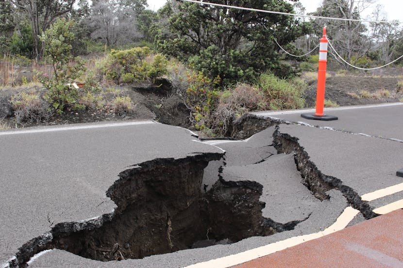
The cities hardest hit include Mandalay, Kyaukse, and Taungoo, all of which experienced intense shaking. Early images from the scene show widespread destruction, particularly in Mandalay, where buildings have crumbled into rubble.
Historical data indicates that earthquakes of similar magnitude in this region have resulted in thousands of deaths and triggered secondary disasters such as landslides.
As of the evening of March 28, Myanmar’s military leader, General Min Aung Hlaing, confirmed at least 144 deaths and more than 730 injuries. He cautioned that the casualty figures are likely to rise as rescue efforts continue. General Min also announced that Myanmar is open to receiving international aid and donations and has opened access routes to facilitate relief efforts.

Regional Impact
The tremor was also felt in neighboring Thailand. In Bangkok, at least 10 people have died, and over 100 remain trapped under the rubble of a partially constructed high-rise building that collapsed due to the quake.
A Call for International Aid
Given the scale of the disaster, the USGS has called for urgent international assistance to support emergency response, rescue operations, and humanitarian aid to help mitigate the disaster’s impact.
Myanmar lies in an earthquake-prone region, with six major quakes of magnitude 7.0 or higher recorded between 1930 and 1956 along the Sagaing Fault—a major tectonic boundary running from north to south through the country.
Experts warn that Myanmar’s rapid urban expansion, aging infrastructure, and poor urban planning have increased the vulnerability of its densely populated cities to earthquakes and other natural disasters.
Related
Discover more from Vietnam Insider
Subscribe to get the latest posts sent to your email.
Source: Vietnam Insider